
Thank you for supporting this site ❤️
Make a donation
Make a donation
Mount Nebo topographic map
Click on the map to display elevation.
Thank you for supporting this site ❤️
Make a donation
Make a donation
About this map
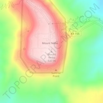
Name: Mount Nebo topographic map, elevation, terrain.
Location: Mount Nebo, Yell County, Arkansas, United States (35.21670 -93.25189 35.21680 -93.25179)
Average elevation: 351 m
Minimum elevation: 149 m
Maximum elevation: 547 m
Thank you for supporting this site ❤️
Make a donation
Make a donation
Other topographic maps
Click on a map to view its topography, its elevation and its terrain.