
Thank you for supporting this site ❤️
Make a donation
Make a donation
Palisade Mesa topographic map
Click on the map to display elevation.
Thank you for supporting this site ❤️
Make a donation
Make a donation
About this map
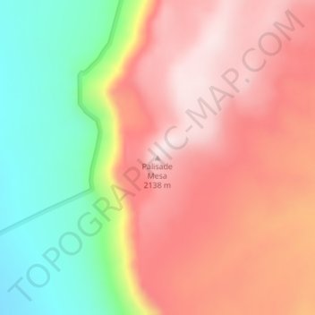
Name: Palisade Mesa topographic map, elevation, terrain.
Location: Palisade Mesa, Nye County, Nevada, United States (38.38849 -116.17843 38.38859 -116.17833)
Average elevation: 1,933 m
Minimum elevation: 1,671 m
Maximum elevation: 2,135 m
Thank you for supporting this site ❤️
Make a donation
Make a donation
Other topographic maps
Click on a map to view its topography, its elevation and its terrain.