
Thank you for supporting this site ❤️
Make a donation
Make a donation
Mwelwa topographic map
Click on the map to display elevation.
Thank you for supporting this site ❤️
Make a donation
Make a donation
About this map
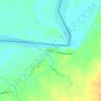
Name: Mwelwa topographic map, elevation, terrain.
Location: Mwelwa, Mambwe District, Eastern Province, Zambia (-13.39876 31.59199 -13.35876 31.63199)
Average elevation: 515 m
Minimum elevation: 504 m
Maximum elevation: 538 m
Thank you for supporting this site ❤️
Make a donation
Make a donation
Other topographic maps
Click on a map to view its topography, its elevation and its terrain.