
Thank you for supporting this site ❤️
Make a donation
Make a donation
Chapakot topographic map
Click on the map to display elevation.
Thank you for supporting this site ❤️
Make a donation
Make a donation
About this map
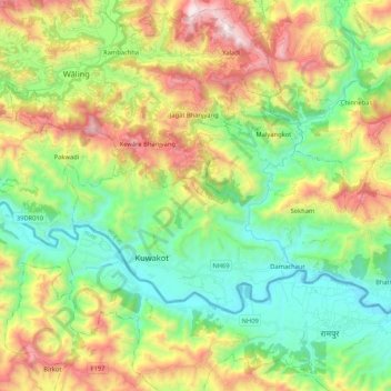
Name: Chapakot topographic map, elevation, terrain.
Location: Chapakot, Syangja, Gandaki Pradesh, Nepal (27.86777 83.75048 27.97981 83.96091)
Average elevation: 803 m
Minimum elevation: 310 m
Maximum elevation: 1,676 m
Thank you for supporting this site ❤️
Make a donation
Make a donation
Other topographic maps
Click on a map to view its topography, its elevation and its terrain.