
Thank you for supporting this site ❤️
Make a donation
Make a donation
Hannahs Mill topographic map
Click on the map to display elevation.
Thank you for supporting this site ❤️
Make a donation
Make a donation
About this map
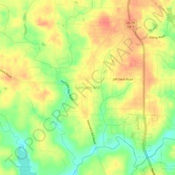
Name: Hannahs Mill topographic map, elevation, terrain.
Location: Hannahs Mill, Upson County, Georgia, 30286, United States (32.91291 -84.36936 32.95291 -84.32936)
Average elevation: 222 m
Minimum elevation: 192 m
Maximum elevation: 245 m
Thank you for supporting this site ❤️
Make a donation
Make a donation
Other topographic maps
Click on a map to view its topography, its elevation and its terrain.