
Berg topographic map
Interactive map
Click on the map to display elevation.
About this map
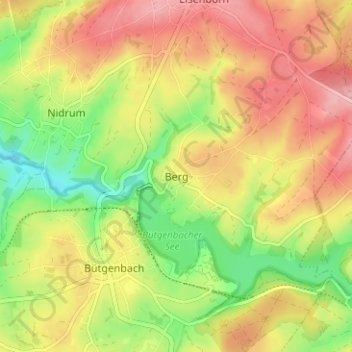
Name: Berg topographic map, elevation, terrain.
Location: Berg, Butgenbach, Verviers, Liège, Wallonie, 4750, Belgique (50.41713 6.19648 50.45713 6.23648)
Average elevation: 579 m
Minimum elevation: 515 m
Maximum elevation: 636 m