
Thank you for supporting this site ❤️
Make a donation
Make a donation
Ruby Valley topographic map
Click on the map to display elevation.
Thank you for supporting this site ❤️
Make a donation
Make a donation
About this map
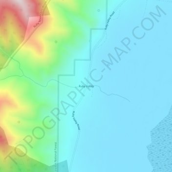
Name: Ruby Valley topographic map, elevation, terrain.
Location: Ruby Valley, Elko County, Nevada, United States (40.34021 -115.46755 40.38021 -115.42755)
Average elevation: 1,960 m
Minimum elevation: 1,812 m
Maximum elevation: 2,587 m
Thank you for supporting this site ❤️
Make a donation
Make a donation
Other topographic maps
Click on a map to view its topography, its elevation and its terrain.
Angel Lake
United States > Nevada > Elko County
Angel Lake is a glacial tarn in the northern part of the East Humboldt Range, in central Elko County in the northeastern part of the state of Nevada. It is located at approximately 41°01.6′N 115°05.1′W / 41.0267°N 115.0850°W / 41.0267; -115.0850, and at an elevation of 8378 feet (2553 m). It…
Average elevation: 2,672 m
Thank you for supporting this site ❤️
Make a donation
Make a donation