
临安镇 topographic map
Interactive map
Click on the map to display elevation.
About this map
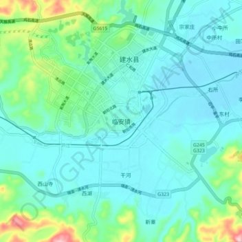
Name: 临安镇 topographic map, elevation, terrain.
Location: 临安镇, 建水县, 红河哈尼族彝族自治州, 云南省, 中国 (23.57550 102.78340 23.65550 102.86340)
Average elevation: 1,343 m
Minimum elevation: 1,300 m
Maximum elevation: 1,530 m
Other topographic maps
Click on a map to view its topography, its elevation and its terrain.