
Thank you for supporting this site ❤️
Make a donation
Make a donation
Ashby topographic map
Click on the map to display elevation.
Thank you for supporting this site ❤️
Make a donation
Make a donation
About this map
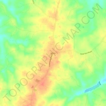
Name: Ashby topographic map, elevation, terrain.
Location: Ashby, Cumberland County, Virginia, United States (37.55765 -78.19500 37.59765 -78.15500)
Average elevation: 111 m
Minimum elevation: 83 m
Maximum elevation: 134 m
Thank you for supporting this site ❤️
Make a donation
Make a donation
Other topographic maps
Click on a map to view its topography, its elevation and its terrain.