
Fronton Island topographic map
Click on the map to display elevation.
About this map
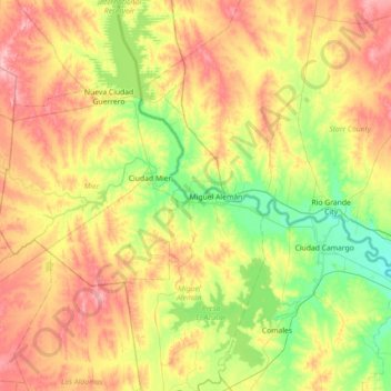
Name: Fronton Island topographic map, elevation, terrain.
Location: Fronton Island, Starr County, Texas, United States (26.08006 -99.38892 26.72006 -98.74892)
Average elevation: 102 m
Minimum elevation: 39 m
Maximum elevation: 193 m
Other topographic maps
Click on a map to view its topography, its elevation and its terrain.
Lower Rio Grande Valley National Wildlife Refuge
United States > Texas > Starr County > Rio Grande City
Average elevation: 50 m