
青得里镇 topographic map
Interactive map
Click on the map to display elevation.
About this map
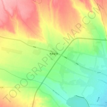
Name: 青得里镇 topographic map, elevation, terrain.
Location: 青得里镇, 博乐市, 博尔塔拉蒙古自治州, 新疆维吾尔自治区, 中国 (44.88230 81.96454 44.96230 82.04454)
Average elevation: 571 m
Minimum elevation: 512 m
Maximum elevation: 642 m
Other topographic maps
Click on a map to view its topography, its elevation and its terrain.