
Thank you for supporting this site ❤️
Make a donation
Make a donation
Aukland topographic map
Click on the map to display elevation.
Thank you for supporting this site ❤️
Make a donation
Make a donation
About this map
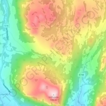
Name: Aukland topographic map, elevation, terrain.
Location: Aukland, Vindafjord, Rogaland, 5585, Norway (59.55498 5.82578 59.59498 5.86578)
Average elevation: 260 m
Minimum elevation: 22 m
Maximum elevation: 575 m
Thank you for supporting this site ❤️
Make a donation
Make a donation
Other topographic maps
Click on a map to view its topography, its elevation and its terrain.
Thank you for supporting this site ❤️
Make a donation
Make a donation