
Thank you for supporting this site ❤️
Make a donation
Make a donation
Vigo County topographic map
Click on the map to display elevation.
Thank you for supporting this site ❤️
Make a donation
Make a donation
About this map
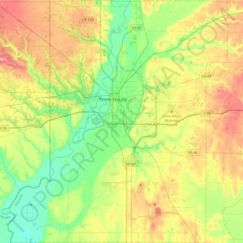
Name: Vigo County topographic map, elevation, terrain.
Location: Vigo County, Indiana, United States (39.25899 -87.62118 39.60964 -87.19905)
Average elevation: 170 m
Minimum elevation: 129 m
Maximum elevation: 229 m
Thank you for supporting this site ❤️
Make a donation
Make a donation
Other topographic maps
Click on a map to view its topography, its elevation and its terrain.