
Tshopo topographic map
Interactive map
Click on the map to display elevation.
About this map
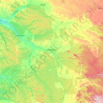
Name: Tshopo topographic map, elevation, terrain.
Location: Tshopo, Democratic Republic of the Congo (-2.06085 22.60512 3.05915 27.72512)
Average elevation: 514 m
Minimum elevation: 351 m
Maximum elevation: 1,351 m