
Thank you for supporting this site ❤️
Make a donation
Make a donation
Kacheliba topographic map
Click on the map to display elevation.
Thank you for supporting this site ❤️
Make a donation
Make a donation
About this map
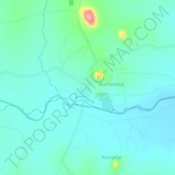
Name: Kacheliba topographic map, elevation, terrain.
Location: Kacheliba, Pokot North, West Pokot, Rift Valley, 30601, Kenya (1.46255 34.99108 1.50255 35.03108)
Average elevation: 1,288 m
Minimum elevation: 1,264 m
Maximum elevation: 1,408 m
Thank you for supporting this site ❤️
Make a donation
Make a donation