
Thank you for supporting this site ❤️
Make a donation
Make a donation
Roland Park topographic map
Click on the map to display elevation.
Thank you for supporting this site ❤️
Make a donation
Make a donation
About this map
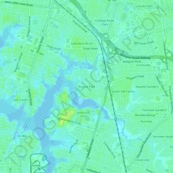
Name: Roland Park topographic map, elevation, terrain.
Location: Roland Park, Norfolk, Virginia, 23509, United States (36.87654 -76.28272 36.91654 -76.24272)
Average elevation: 5 m
Minimum elevation: -4 m
Maximum elevation: 14 m
Thank you for supporting this site ❤️
Make a donation
Make a donation
Other topographic maps
Click on a map to view its topography, its elevation and its terrain.