
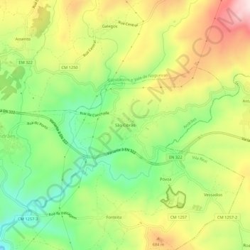
São Cibrão topographic map
Interactive map
Click on the map to display elevation.
About this map
Name: São Cibrão topographic map, elevation, terrain.
Location: São Cibrão, Andrães, Vila Real, Norte, 5000-039, Portugal (41.24856 -7.68238 41.28856 -7.64238)
Average elevation: 593 m
Minimum elevation: 426 m
Maximum elevation: 795 m