
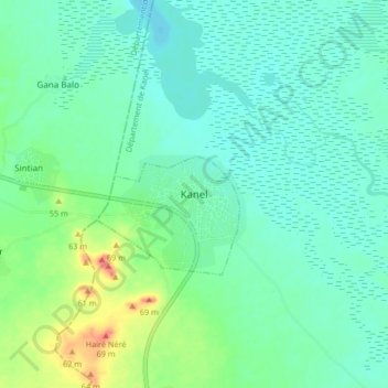
Kanel topographic map
Interactive map
Click on the map to display elevation.
About this map
Name: Kanel topographic map, elevation, terrain.
Location: Kanel, Matam, Matam Region, Senegal (15.45103 -13.21568 15.53103 -13.13568)
Average elevation: 22 m
Minimum elevation: 8 m
Maximum elevation: 64 m