
New Caledonia topographic map
Interactive map
Click on the map to display elevation.
About this map
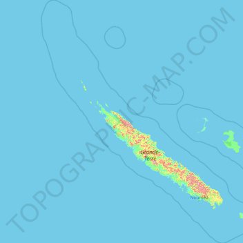
Name: New Caledonia topographic map, elevation, terrain.
Location: New Caledonia (-23.22175 162.60343 -17.68686 167.81098)
Average elevation: 12 m
Minimum elevation: -1 m
Maximum elevation: 1,454 m
Other topographic maps
Click on a map to view its topography, its elevation and its terrain.