
Thank you for supporting this site ❤️
Make a donation
Make a donation
Steward Bayou topographic map
Click on the map to display elevation.
Thank you for supporting this site ❤️
Make a donation
Make a donation
About this map
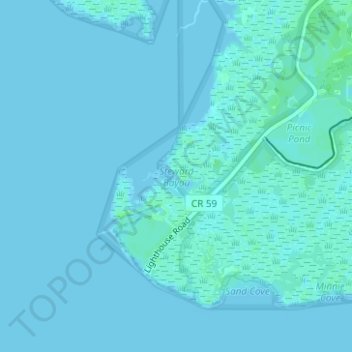
Name: Steward Bayou topographic map, elevation, terrain.
Location: Steward Bayou, Wakulla County, Florida, United States (30.08155 -84.17716 30.08165 -84.17706)
Average elevation: 1 m
Minimum elevation: -1 m
Maximum elevation: 7 m
Thank you for supporting this site ❤️
Make a donation
Make a donation
Other topographic maps
Click on a map to view its topography, its elevation and its terrain.