
Make a donation
Flattop Mountain topographic map
Click on the map to display elevation.
Make a donation
Flattop Mountain
It is usually reached by driving to the Glen Alps trailhead and following a 1.5-mile (2.4-km) trail, with an elevation gain of 1,280 feet (390 m) from the parking lot to the plateau. Off the plateau loop is a difficult trail to the peak. Since it is the most accessible mountain to Anchorage, Flattop is a very popular location for hiking, climbing, berry picking, paragliding, and backcountry skiing. Campouts are held on the summit at the summer and winter solstices.
Make a donation
About this map
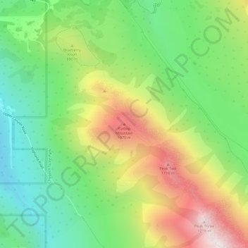
Name: Flattop Mountain topographic map, elevation, terrain.
Location: Flattop Mountain, Anchorage, Alaska, United States (61.08958 -149.66846 61.08968 -149.66836)
Average elevation: 735 m
Minimum elevation: 398 m
Maximum elevation: 1,237 m
Make a donation
Other topographic maps
Click on a map to view its topography, its elevation and its terrain.
Make a donation
Make a donation