
Thank you for supporting this site ❤️
Make a donation
Make a donation
Montegnet topographic map
Click on the map to display elevation.
Thank you for supporting this site ❤️
Make a donation
Make a donation
About this map
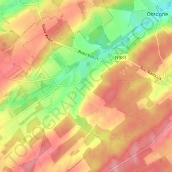
Name: Montegnet topographic map, elevation, terrain.
Location: Montegnet, Havelange, Dinant, Namen, Wallonië, 5370, België (50.36887 5.17515 50.40887 5.21515)
Average elevation: 279 m
Minimum elevation: 219 m
Maximum elevation: 320 m
Thank you for supporting this site ❤️
Make a donation
Make a donation