
Alcocer topographic map
Click on the map to display elevation.
About this map
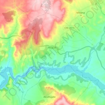
Name: Alcocer topographic map, elevation, terrain.
Location: Alcocer, Guadalajara, Castile-La Mancha, Spain (40.42235 -2.65259 40.50700 -2.50453)
Average elevation: 807 m
Minimum elevation: 679 m
Maximum elevation: 1,052 m
Other topographic maps
Click on a map to view its topography, its elevation and its terrain.