
Thank you for supporting this site ❤️
Make a donation
Make a donation
Bean Settlement topographic map
Click on the map to display elevation.
Thank you for supporting this site ❤️
Make a donation
Make a donation
About this map
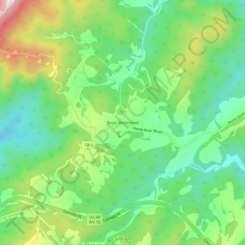
Name: Bean Settlement topographic map, elevation, terrain.
Location: Bean Settlement, Hardy County, West Virginia, United States (39.09511 -78.84585 39.13511 -78.80585)
Average elevation: 631 m
Minimum elevation: 488 m
Maximum elevation: 893 m
Thank you for supporting this site ❤️
Make a donation
Make a donation
Other topographic maps
Click on a map to view its topography, its elevation and its terrain.