
Thank you for supporting this site ❤️
Make a donation
Make a donation
Grove Hill topographic map
Click on the map to display elevation.
Thank you for supporting this site ❤️
Make a donation
Make a donation
About this map
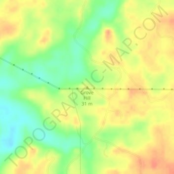
Name: Grove Hill topographic map, elevation, terrain.
Location: Grove Hill, Monroe County, Alabama, United States (31.38817 -87.65476 31.38827 -87.65466)
Average elevation: 26 m
Minimum elevation: 2 m
Maximum elevation: 44 m
Thank you for supporting this site ❤️
Make a donation
Make a donation
Other topographic maps
Click on a map to view its topography, its elevation and its terrain.