
Thank you for supporting this site ❤️
Make a donation
Make a donation
Wahn topographic map
Click on the map to display elevation.
Thank you for supporting this site ❤️
Make a donation
Make a donation
About this map
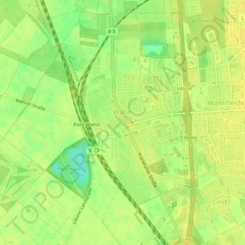
Name: Wahn topographic map, elevation, terrain.
Location: Wahn, Porz, Köln, Nordrhein-Westfalen, 51147, Deutschland (50.84844 7.07406 50.86693 7.09769)
Average elevation: 54 m
Minimum elevation: 39 m
Maximum elevation: 59 m
Thank you for supporting this site ❤️
Make a donation
Make a donation
Other topographic maps
Click on a map to view its topography, its elevation and its terrain.