
Thank you for supporting this site ❤️
Make a donation
Make a donation
Cartney topographic map
Click on the map to display elevation.
Thank you for supporting this site ❤️
Make a donation
Make a donation
About this map
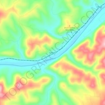
Name: Cartney topographic map, elevation, terrain.
Location: Cartney, Baxter County, Arkansas, United States (36.17451 -92.40238 36.21451 -92.36238)
Average elevation: 183 m
Minimum elevation: 107 m
Maximum elevation: 289 m
Thank you for supporting this site ❤️
Make a donation
Make a donation
Other topographic maps
Click on a map to view its topography, its elevation and its terrain.