
Thank you for supporting this site ❤️
Make a donation
Make a donation
Blaine topographic map
Click on the map to display elevation.
Thank you for supporting this site ❤️
Make a donation
Make a donation
About this map
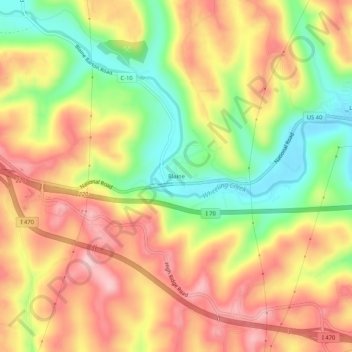
Name: Blaine topographic map, elevation, terrain.
Location: Blaine, Belmont County, Ohio, 43909, United States (40.04785 -80.83731 40.08785 -80.79731)
Average elevation: 310 m
Minimum elevation: 209 m
Maximum elevation: 395 m
Thank you for supporting this site ❤️
Make a donation
Make a donation
Other topographic maps
Click on a map to view its topography, its elevation and its terrain.
Thank you for supporting this site ❤️
Make a donation
Make a donation
Thank you for supporting this site ❤️
Make a donation
Make a donation
Thank you for supporting this site ❤️
Make a donation
Make a donation