
Zurndorf topographic map
Interactive map
Click on the map to display elevation.
About this map
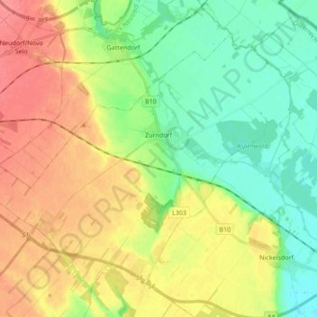
Name: Zurndorf topographic map, elevation, terrain.
Location: Zurndorf, Bezirk Neusiedl am See, Burgenland, 2424, Austria (47.93075 16.90555 48.02039 17.07498)
Average elevation: 150 m
Minimum elevation: 126 m
Maximum elevation: 180 m