
Pernes topographic map
Interactive map
Click on the map to display elevation.
About this map
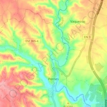
Name: Pernes topographic map, elevation, terrain.
Location: Pernes, Santarém, Lezíria do Tejo, Alentejo, Portugal (39.37633 -8.70649 39.41609 -8.64426)
Average elevation: 82 m
Minimum elevation: 19 m
Maximum elevation: 146 m