
Montán topographic map
Interactive map
Click on the map to display elevation.
About this map
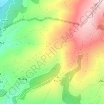
Name: Montán topographic map, elevation, terrain.
Location: Montán, Samos, Sarria, Lugo, Galicia, España (42.76373 -7.30425 42.78474 -7.27290)
Average elevation: 873 m
Minimum elevation: 600 m
Maximum elevation: 1,158 m
Other topographic maps
Click on a map to view its topography, its elevation and its terrain.