
Rabennest topographic map
Interactive map
Click on the map to display elevation.
About this map
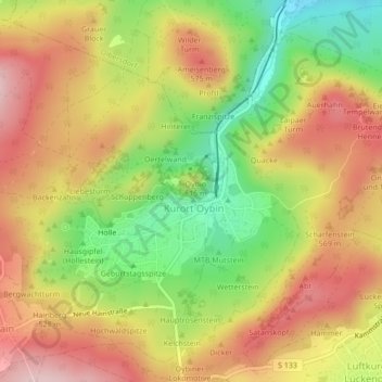
Name: Rabennest topographic map, elevation, terrain.
Location: Rabennest, Oybin, Olbersdorf, Görlitz, Saxony, 02797, Germany (50.84324 14.74265 50.84334 14.74275)
Average elevation: 488 m
Minimum elevation: 349 m
Maximum elevation: 607 m