
Thank you for supporting this site ❤️
Make a donation
Make a donation
Schultz Creek topographic map
Click on the map to display elevation.
Thank you for supporting this site ❤️
Make a donation
Make a donation
About this map
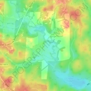
Name: Schultz Creek topographic map, elevation, terrain.
Location: Schultz Creek, Bibb County, Alabama, United States (33.07063 -87.24235 33.08686 -87.22803)
Average elevation: 115 m
Minimum elevation: 87 m
Maximum elevation: 146 m
Thank you for supporting this site ❤️
Make a donation
Make a donation
Other topographic maps
Click on a map to view its topography, its elevation and its terrain.
Thank you for supporting this site ❤️
Make a donation
Make a donation
Thank you for supporting this site ❤️
Make a donation
Make a donation