
Río Negro topographic map
Interactive map
Click on the map to display elevation.
About this map
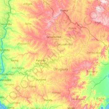
Name: Río Negro topographic map, elevation, terrain.
Location: Río Negro, Durazno, 97007, Uruguay (-33.44140 -58.44274 -31.37815 -53.83629)
Average elevation: 126 m
Minimum elevation: -4 m
Maximum elevation: 452 m
Other topographic maps
Click on a map to view its topography, its elevation and its terrain.