
Nizamabad topographic map
Interactive map
Click on the map to display elevation.
About this map
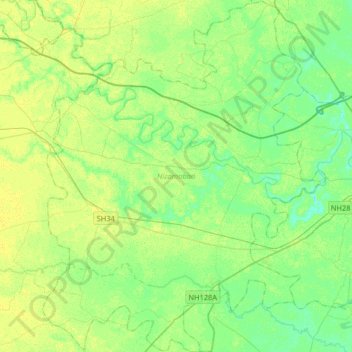
Name: Nizamabad topographic map, elevation, terrain.
Location: Nizamabad, Azamgarh, Uttar Pradesh, 276305, India (25.90934 82.87004 26.20050 83.13174)
Average elevation: 81 m
Minimum elevation: 73 m
Maximum elevation: 87 m
Other topographic maps
Click on a map to view its topography, its elevation and its terrain.