
Thank you for supporting this site ❤️
Make a donation
Make a donation
Tolicha Peak topographic map
Click on the map to display elevation.
Thank you for supporting this site ❤️
Make a donation
Make a donation
About this map
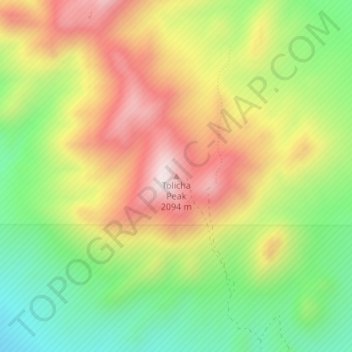
Name: Tolicha Peak topographic map, elevation, terrain.
Location: Tolicha Peak, Nye County, Nevada, United States (37.26850 -116.80928 37.26860 -116.80918)
Average elevation: 1,877 m
Minimum elevation: 1,639 m
Maximum elevation: 2,138 m
Thank you for supporting this site ❤️
Make a donation
Make a donation
Other topographic maps
Click on a map to view its topography, its elevation and its terrain.