
Doogea ED topographic map
Interactive map
Click on the map to display elevation.
About this map
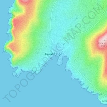
Name: Doogea ED topographic map, elevation, terrain.
Location: Doogea ED, Dooega, County Mayo, Connacht, Ireland (53.90209 -10.04705 53.94209 -10.00705)
Average elevation: 59 m
Minimum elevation: -1 m
Maximum elevation: 335 m