
Thank you for supporting this site ❤️
Make a donation
Make a donation
East Bergholt topographic map
Click on the map to display elevation.
Thank you for supporting this site ❤️
Make a donation
Make a donation
About this map
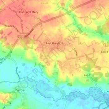
Name: East Bergholt topographic map, elevation, terrain.
Location: East Bergholt, Babergh, Suffolk, England, United Kingdom (51.95321 0.99686 51.99394 1.07267)
Average elevation: 27 m
Minimum elevation: -4 m
Maximum elevation: 53 m
Thank you for supporting this site ❤️
Make a donation
Make a donation