
Neasham topographic map
Click on the map to display elevation.
About this map
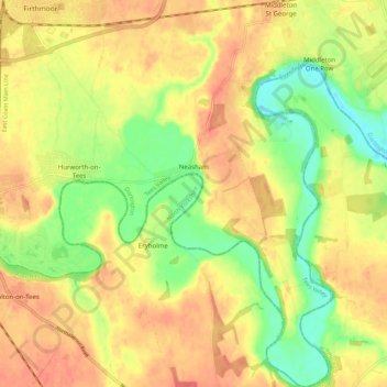
Name: Neasham topographic map, elevation, terrain.
Location: Neasham, Darlington, Tees Valley, England, United Kingdom (54.45113 -1.51185 54.51507 -1.45340)
Average elevation: 38 m
Minimum elevation: 8 m
Maximum elevation: 59 m
Other topographic maps
Click on a map to view its topography, its elevation and its terrain.