
Thank you for supporting this site ❤️
Make a donation
Make a donation
Ogema topographic map
Click on the map to display elevation.
Thank you for supporting this site ❤️
Make a donation
Make a donation
About this map
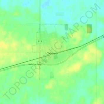
Name: Ogema topographic map, elevation, terrain.
Location: Ogema, Saskatchewan, Canada (49.56639 -104.92273 49.58089 -104.90841)
Average elevation: 723 m
Minimum elevation: 713 m
Maximum elevation: 733 m
Thank you for supporting this site ❤️
Make a donation
Make a donation