
茶果洲 topographic map
Interactive map
Click on the map to display elevation.
About this map
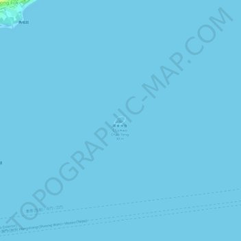
Name: 茶果洲 topographic map, elevation, terrain.
Location: 茶果洲, 離島區, 新界, 香港, 中国 (22.21427 113.94520 22.21531 113.94670)
Average elevation: 0 m
Minimum elevation: -1 m
Maximum elevation: 18 m
Other topographic maps
Click on a map to view its topography, its elevation and its terrain.