
Thank you for supporting this site ❤️
Make a donation
Make a donation
Cluny topographic map
Click on the map to display elevation.
Thank you for supporting this site ❤️
Make a donation
Make a donation
About this map
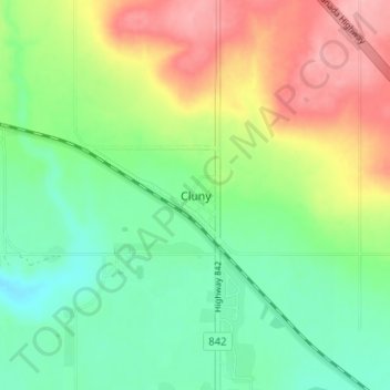
Name: Cluny topographic map, elevation, terrain.
Location: Cluny, Wheatland County, Alberta, T0J 0S0, Canada (50.82029 -112.89038 50.86029 -112.85038)
Average elevation: 891 m
Minimum elevation: 845 m
Maximum elevation: 963 m
Thank you for supporting this site ❤️
Make a donation
Make a donation
Other topographic maps
Click on a map to view its topography, its elevation and its terrain.