
Leek topographic map
Interactive map
Click on the map to display elevation.
About this map
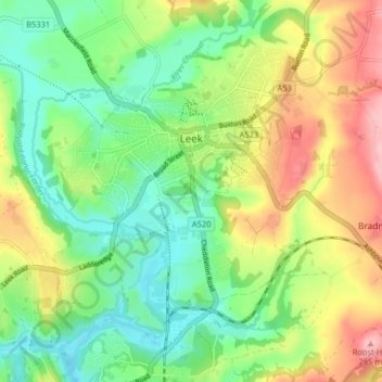
Name: Leek topographic map, elevation, terrain.
Average elevation: 193 m
Minimum elevation: 135 m
Maximum elevation: 285 m
Other topographic maps
Click on a map to view its topography, its elevation and its terrain.
Gun
Verenigd Koninkrijk > Engeland > Staffordshire > Staffordshire Moorlands
Gun, Staffordshire Moorlands, Staffordshire, West Midlands, Engeland, SK11 0SW, Verenigd Koninkrijk
Average elevation: 286 m