
Thank you for supporting this site ❤️
Make a donation
Make a donation
Farcha topographic map
Click on the map to display elevation.
Thank you for supporting this site ❤️
Make a donation
Make a donation
About this map
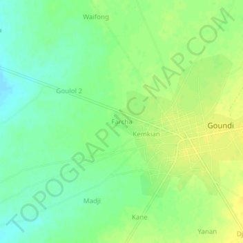
Name: Farcha topographic map, elevation, terrain.
Location: Farcha, Mandoul, Chad (9.34643 17.33342 9.38643 17.37342)
Average elevation: 366 m
Minimum elevation: 355 m
Maximum elevation: 375 m
Thank you for supporting this site ❤️
Make a donation
Make a donation