
Thank you for supporting this site ❤️
Make a donation
Make a donation
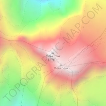
Mera Peak topographic map
Click on the map to display elevation.
Thank you for supporting this site ❤️
Make a donation
Make a donation
Mera Peak
In September 2017, Hari Budha Magar summited Mera Peak, in doing so he became the first ever double above-knee amputee to climb a mountain over 6,000m in altitude.[9]
Thank you for supporting this site ❤️
Make a donation
Make a donation
About this map
Name: Mera Peak topographic map, elevation, terrain.
Location: Mera Peak, Bung, Mahakulung, Solukhumbu, Province #1, Nepal (27.70979 86.86861 27.70989 86.86871)
Average elevation: 5,709 m
Minimum elevation: 4,779 m
Maximum elevation: 6,450 m
Thank you for supporting this site ❤️
Make a donation
Make a donation