
Thank you for supporting this site ❤️
Make a donation
Make a donation
Rohtang Pass topographic map
Click on the map to display elevation.
Thank you for supporting this site ❤️
Make a donation
Make a donation
About this map
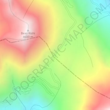
Name: Rohtang Pass topographic map, elevation, terrain.
Location: Rohtang Pass, Lahul, Lahul and Spiti, Himachal Pradesh, India (32.37095 77.24622 32.37105 77.24632)
Average elevation: 4,042 m
Minimum elevation: 3,484 m
Maximum elevation: 4,617 m
Thank you for supporting this site ❤️
Make a donation
Make a donation
Other topographic maps
Click on a map to view its topography, its elevation and its terrain.