
Thank you for supporting this site ❤️
Make a donation
Make a donation
Cane Creek topographic map
Click on the map to display elevation.
Thank you for supporting this site ❤️
Make a donation
Make a donation
About this map
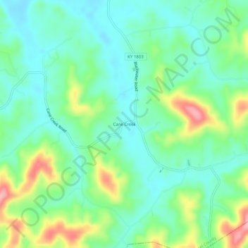
Name: Cane Creek topographic map, elevation, terrain.
Location: Cane Creek, Laurel County, Kentucky, United States (37.03592 -83.94270 37.07592 -83.90270)
Average elevation: 377 m
Minimum elevation: 336 m
Maximum elevation: 471 m
Thank you for supporting this site ❤️
Make a donation
Make a donation