
Thank you for supporting this site ❤️
Make a donation
Make a donation
Björneke topographic map
Click on the map to display elevation.
Thank you for supporting this site ❤️
Make a donation
Make a donation
About this map
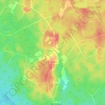
Name: Björneke topographic map, elevation, terrain.
Location: Björneke, Uppvidinge kommun, Provinz Kronoberg, Schweden (56.83368 15.19861 56.87368 15.23861)
Average elevation: 217 m
Minimum elevation: 188 m
Maximum elevation: 247 m
Thank you for supporting this site ❤️
Make a donation
Make a donation