
Thank you for supporting this site ❤️
Make a donation
Make a donation
Bieberer Berg topographic map
Click on the map to display elevation.
Thank you for supporting this site ❤️
Make a donation
Make a donation
About this map
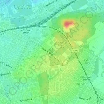
Name: Bieberer Berg topographic map, elevation, terrain.
Location: Bieberer Berg, Offenbach am Main, Hessen, Deutschland (50.08474 8.78569 50.10776 8.81703)
Average elevation: 117 m
Minimum elevation: 96 m
Maximum elevation: 159 m
Thank you for supporting this site ❤️
Make a donation
Make a donation
Other topographic maps
Click on a map to view its topography, its elevation and its terrain.
Offenbach am Main
Deutschland > Hessen > Offenbach am Main
Im Jahr 1812 fand die letzte Hinrichtung in Offenbach statt, der Galgen stand in Höhe Hermannstraße und Schäferstraße.
Average elevation: 139 m