
Thank you for supporting this site ❤️
Make a donation
Make a donation
Frisbo topographic map
Click on the map to display elevation.
Thank you for supporting this site ❤️
Make a donation
Make a donation
About this map
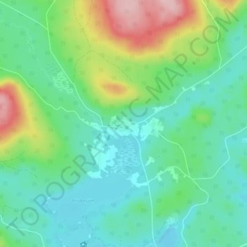
Name: Frisbo topographic map, elevation, terrain.
Location: Frisbo, Hudiksvalls kommun, Provinz Gävleborg, Schweden (61.97084 16.68052 62.01084 16.72052)
Average elevation: 207 m
Minimum elevation: 154 m
Maximum elevation: 350 m
Thank you for supporting this site ❤️
Make a donation
Make a donation
Other topographic maps
Click on a map to view its topography, its elevation and its terrain.